


Habitats and Flora
Assessment of botanical habitats
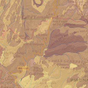
Global value of the botanical interest of habitats, with values ranging from 1 to 10 (value 0 for habitats excluded from the assessment). It is calculated taking into account the Index of chorologic interest and the Index of intrinsic interest of the habitats.
Author: Research Group of Phytogeography and Vegetation Mapping(GEOVEG)University of Barcelona
Metadata (pdf)
View map (SITMUN)
Small habitats
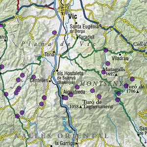
Location (not exhaustive) of small habitats not included in the general cartography of habitats due to their small size.
Author: Research Group of Phytogeography and Vegetation Mapping(GEOVEG)University of Barcelona
Metadata (pdf)
View map (SITMUN)
Presence and distribution of natural vegetation in agricultural habitats
Units in the key to the cartography of habitats related to agricultural land uses, with the addition of classification parameters based on the presence and position of natural vegetation.
Author: Grup de Geobotànica i Cartografia de la Vegetació, UB
Metadata (pdf)
View map (SITMUN)
Habitat ecotones
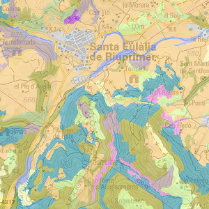
For each polygon of the cartography of habitats of Catalonia, the length of borders with adjacent polygons has been calculated.
Author: Research Group of Phytogeography and Vegetation Mapping(GEOVEG)University of Barcelona
Metadata (pdf)
View map (SITMUN)
Habitats in the Llobregat river basin and their assessment
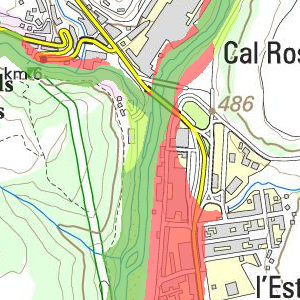
Natural habitats, and their corresponding assessment, in the main course of the River Llobregat till the town of Abrera, classified by hydrographic basins and sub-basins.
Author: Centre d’Estudis dels Rius Mediterranis
Metadata (pdf)
View map (SITMUN)
Habitats in the Ter river basin and their assessment
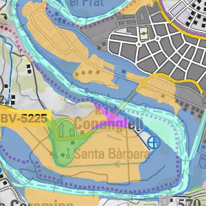
Natural habitats, and their corresponding assessment, in the main course of the River Ter in the province of Barcelona, classified by basins and municipalities.
Author: Centre d’Estudis dels Rius Mediterranis
Metadata (pdf)
View map (SITMUN)
Àrea de Territori i Sostenibilitat
Comte d'Urgell 187, 3a planta, Edifici Rellotge
08036 Barcelona. Tel. 934 022 896